Hike | Telegraph Pass to Kiwanis | South Mountain

TRAIL DESCRIPTION
South Mountain is one of the most notable mountains in the East Valley due to its different trailheads in Ahwatukee, Chandler, and Phoenix. The most popular trail in Ahwatukee is the Telegraph Pass Trail. Its end connects with many other trails, including the National Trail and Kiwanis Trail, that all boast stunning views of the mountain and towns from different sides of the mountain.
TRAIL STATS
- Length: 2.2 mi for Telegraph, 2.1 mi for Kiwanis, around 0.3 mi for the Stone House
- Trail Type: Out and back
- Elevation Gain/Loss: 482 ft, 418 ft, about 100 ft. respectively
- Difficulty: Moderate
- Kid Friendly: Yes!
- Dog Friendly: Yes, dog must be on a leash!
THE HIKE


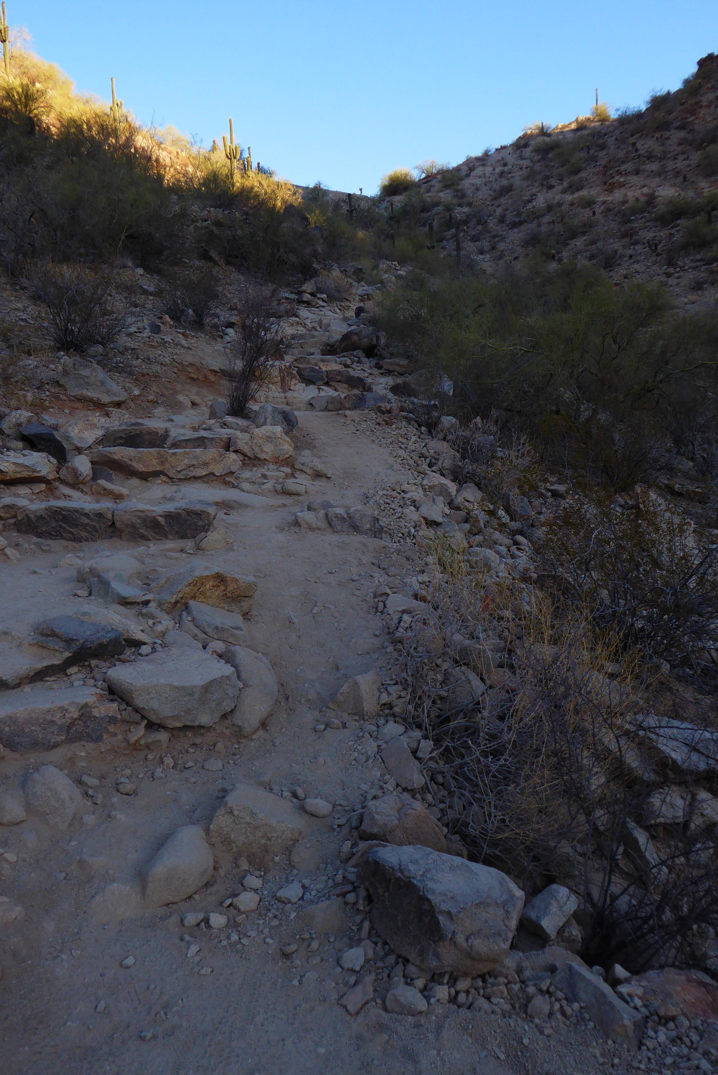
Telegraph Pass: Due to its proximity to a dense community of Ahwatukee Foothills houses, Telegraph Pass trail is a very popular route for both locals and tourists alike. The first third of the trail is on paved road for easy walking and weaves closer to the mountain. At the end of the pavement, hikers can either turn a slight right to enter the Desert Classic Trail, or continue left to the end of Telegraph Pass (signs clearly mark the intersection). From here, the trail gains steady elevation over boulders, with the last 0.1 mile ascending by stone steps. Throughout the trail, saguaro cactus, ocotillo, and wildflower blooms can be seen. The trail ends at Summit Road, which also connects to either National or Kiwanis trails.
A popular detour is to take National West (to the left) up to the Stone House, which provides an excellent resting point and view of both Ahwatukee and Downtown Phoenix.
Kiwanis: Kiwanis Trail can either be accessed at the Summit Road after hiking Telegraph Pass, or at the Las Lomitas trailhead. From Summit Road, the trail descends via steps into a canyon. An abundance of wildlife and cacti can be seen along the way, and keep an eye out for more Hohokam petroglyphs on the boulders bordering the trail! Towards the middle, the trail has a steeper descent over rocky passes and wooden steps. The last 0.6 miles of the trail is relatively flat and enters another trailhead.
Remember, this trail is multi-purpose so be mindful of the mountain bikers! Also, hiking around sunrise or sunset will promise an almost completely shaded trail. Once the sun has risen, the trails have little to no shade.
GETTING THERE
From Pecos, take a right on 24th St. Take a left onto Chandler Blvd, then a right onto S Desert Foothills Parkway. Continue on the road until the parking lot and Ramada come into view.
HIKING TIPS
1. Wear hiking boots or trail shoes if you have them due to the rocky and nature of the trail and loose gravel
2. Bring and drink enough water throughout the hike – 1-2 Liters will be adequate.
3. Wear sunscreen, a hat, and sunglasses to protect yourself from the sun. During the Summer, starting before 6 AM is recommended to avoid the sweltering heat. There is not much shade along this trail.
4. Enjoy the trail! Watch your footing, but make sure to look up from time to time to drink in the panoramic city and boulder sceneries!
5. As always, pack in what you take out! Leave no trace.
THE NARRATOR
This blog was thoughtfully written by Annie Nguyen. You can find her on Instagram at @_annien.
* Please remember to hike at your own risk. To learn more please refer to our Hiking Disclaimer.