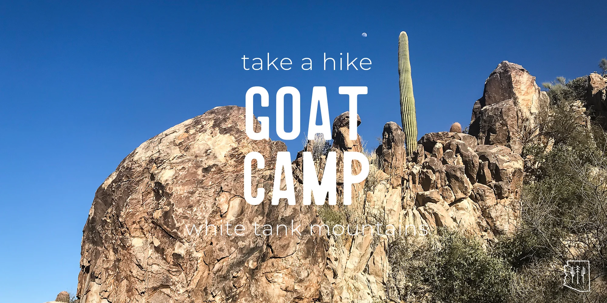
Hike | Goat Camp Trail | White Tank Mountains
TRAIL DESCRIPTION
Like Ford Canyon Trail, its “extremely difficult” counterpart in White Tank Mountain Regional Park, Goat Camp is challenging. They both contain stretches of hazardous trail, 2.0 and 1.5 miles respectively, that earn them the double, black diamond rating. What they also share are significant elevation gains that take you through varied terrain to exquisite, photogenic views.
TRAIL STATS
- Distance: 6.3 miles one way
- Type of Trail: Out and back
- Elevation Gain/Loss: 1734 ft. between low and high points
- Difficulty: Extremely difficult
- Amenities: Drinking fountains and bathrooms
- Dog-Friendly: Yes
- Hours of Operation: Su – Thu: 6:00 a.m. to 8:00 p.m., Fri – Sat: 6:00 a.m. to 10:00 p.m.
- Entrance Fees: $6.00 per vehicle or $2.00 per pedestrian
THE HIKE

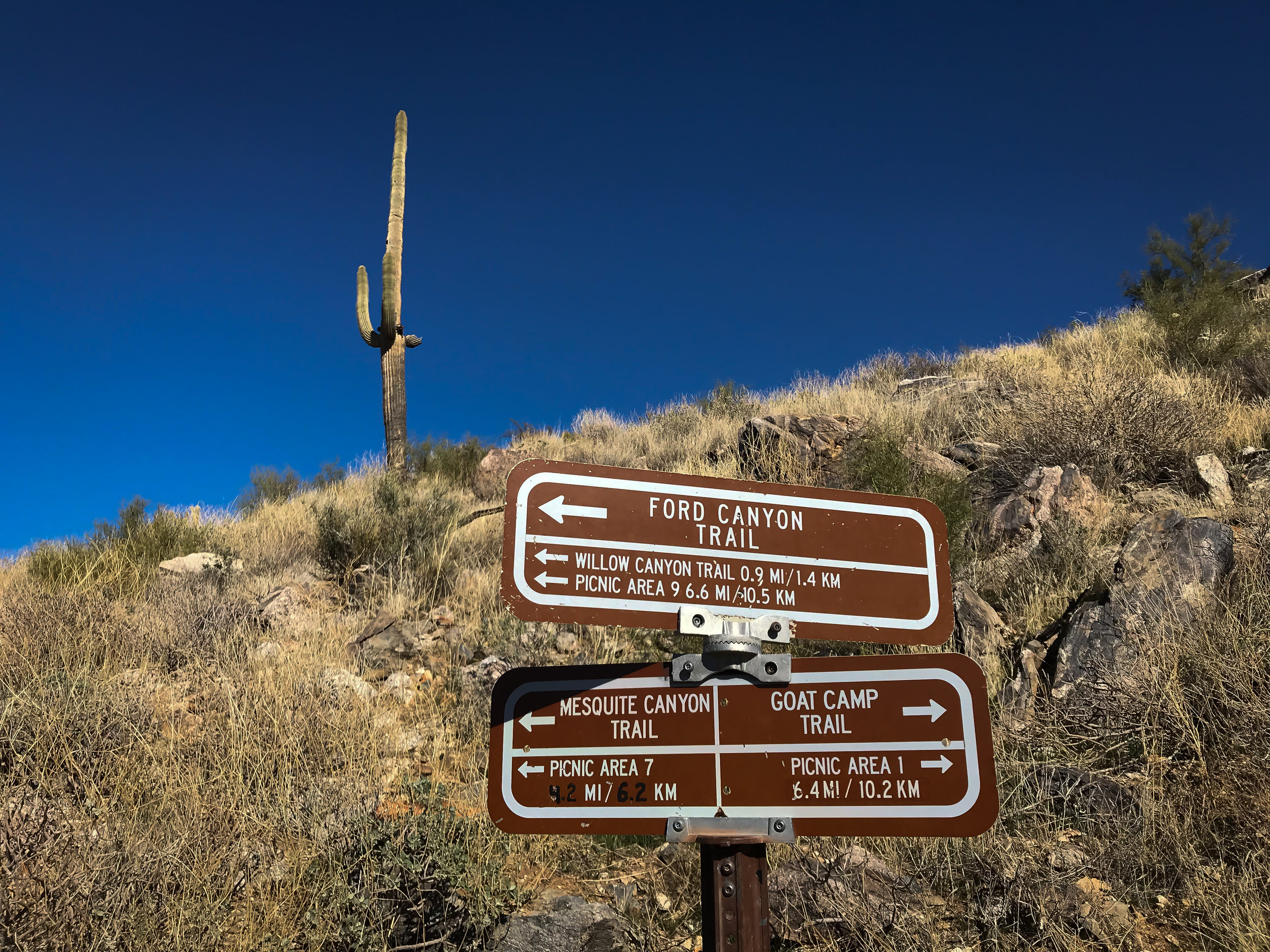
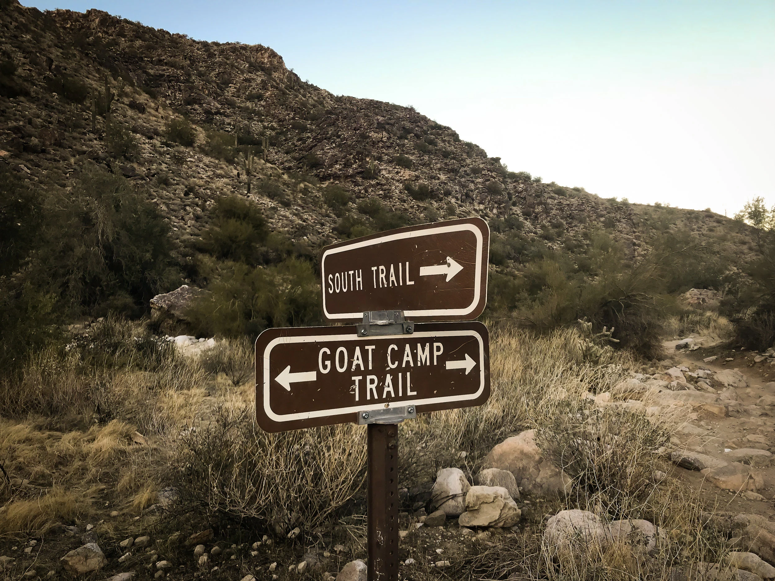
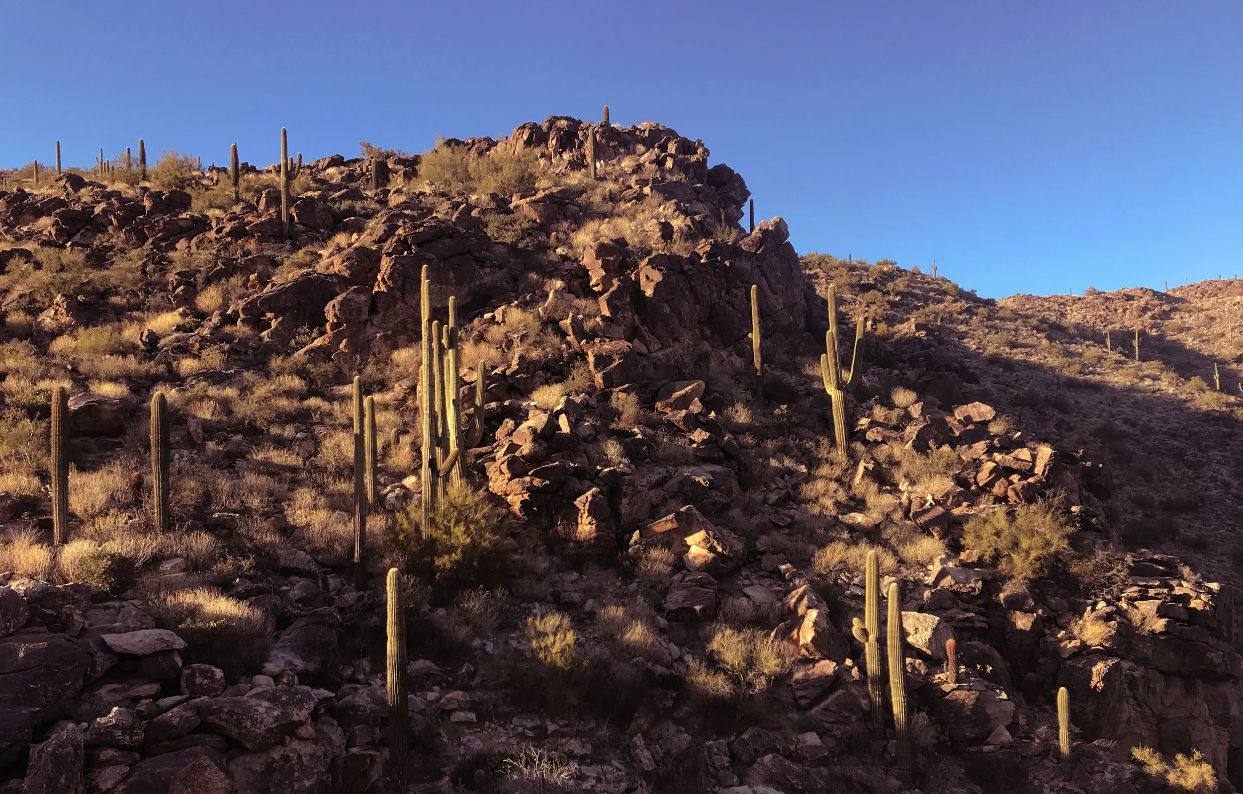


We parked at Area 1, just off of Black Canyon Drive near the entrance of the park. If the parking area next to the trailhead is full, proceed down the road and another row of parking is available on your left-hand side. The approach to the mountain is fairly easy—towering saguaros and waist-high strawberry hedgehog flank the path. You’ll intersect and pass Bajada Trail about half a mile in and South Trail soon after. Goat Camp then proceeds into a rocky and sandy wash. Though it seems as if you should continue up the wash, the trail is actually on your right-hand side. Simply cross over the wash and up the right bank. You’ll see mile marker 1 almost immediately after emerging out of the wash. Soon after, the elevation begins to pick up, and before you know it, you’re putting some distance between you and your car. The terrain gets rockier as the trail narrows and rises. We saw only a handful of hikers this Sunday, and a few of them turned back before emerging out of this steep portion of the trail.
I exercised some caution in placing my footing, but the trail didn’t require any scrambling. It’s steep and long, but it never seemed dangerous. Once you arrive at mile marker 2, you are atop a rocky formation that is a great place to catch your breath and appreciate the view. You can see the Nature Center, which looks like a small, dark box in the middle of nowhere. You’ll steadily gain elevation until you reach another steep incline to mile marker 3. This part of the trail has fewer boulders but more rocks and can be slippery. Be careful, as there are thorny bushes and cacti flanking the side of the trail. Once you reach mile marker 3, you are rewarded with another great view of the mountains and the valley.
The next two miles offer only moderate elevation changes. I love that you can see exactly where you’re headed—the trail is carved alongside the mountain and as you traverse one side, you can make out the trail ahead of you on the other side. This works in reverse, and you can see the trail behind you and appreciate all the distance you’ve traveled so far. After mile marker 4, we made a slight descent into a wash, just before mile marker 5. Large boulders and trees made for a perfect picnic spot, and we took a break to eat. The next mile took us up the mountain again before we crested for another picturesque view near mile marker 6. The remaining .4 miles leads you to the point where Goat Camp, Ford Canyon, and Mesquite Canyon Trails intersect. It’s at this point we turned around and headed back. You could opt to make Goat Camp a loop by adding several combinations of trails that could make for a 13- to 15-mile hike, but to save time, we had to return the same way we came.
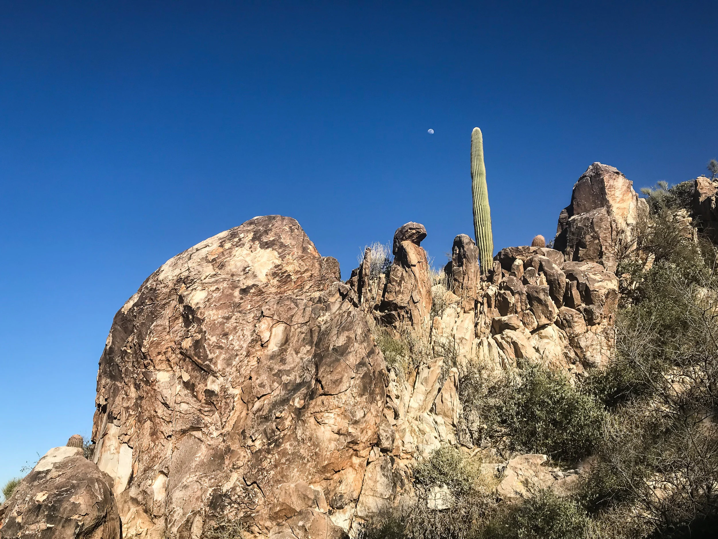
On our way back, I took more notice of the giant saguaros, the towering rock faces, and the spontaneous teddy bear cholla cropping up on the side of the mountain. I’ve lived in the desert a long time, but to be hiking in the backcountry like this is remarkable. The descent down the steep, rough section of the trail is far more difficult than climbing up. It’s hard on the knees, and the loose rock in some parts makes it slippery. At one point, I slid and overshot the switchback before I could stop. As we made it back past the wash, the sun was just beginning to set, and you could see the glint off the high rises downtown and in the Central corridor. The sky turned pink and a light shade of purple. It made the entire hike worth the effort.
Getting There
From the north: Take Highway 303 south and exit at Peoria Avenue. Turn right and travel west for 1 mile on Peoria Avenue. Turn left (south) onto Cotton Lane. Turn right (west) on Olive Avenue. Continue 4 miles to the park gate.
From the south: Take Highway 303 north and exit at Northern Avenue. Turn left (west) onto Northern Avenue and travel west for 1 mile. Turn right (north) onto Cotton Lane. Turn left (west) onto Olive Avenue. Continue 4 miles to the park gate.
HIKING TIPS
Park hours allow for stunning views at sunrise and sunset.
Pack plenty of water and a hat or sunscreen as there is little shade cover on the trail. • Wear shoes/boots with good tread as the trail is rocky.
In the warmer months, get an early start as much of the trail is in full sun.
Plenty of trashcans are located at the trailheads. Make sure to leave the park better than you found it.
The building located near the park entrance houses the Nature Center, the Regional Library, and a bookstore. You’ll find vending machines, bathrooms, and drinking fountains. Stop in for a quick visit to the Nature Center to pick up maps, snacks, souvenirs, and trail information. Hours for the Nature Center are:
THE NARRATOR
This blog was thoughtfully written by Jia Oak Baker. You can find her on Instagram at @violetsky29.
* Please remember to hike at your own risk. To learn more please refer to our Hiking Disclaimer.